Drone Footage Highlights Rockfall Monitoring Technology in the Field
- Sep 08, 2026
- Rail
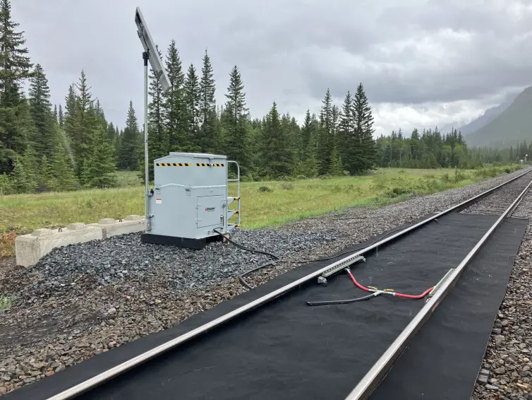
L.B. Foster captured aerial footage of an active Rockfall Monitoring installation, providing a unique perspective on how advanced monitoring technologies are deployed in challenging environments.
The video highlights the scale of the site, the surrounding terrain, and the monitoring infrastructure designed to provide continuous visibility into slope conditions. The footage demonstrates how Rockfall Monitoring can be integrated in rugged, difficult-to-access areas where traditional inspection methods may be limited.
Using advanced LiDAR technology and remote monitoring capabilities, Rockfall Monitoring provides valuable information about changing ground conditions, enabling infrastructure owners to take a proactive approach to managing slope-related risks. These insights can support maintenance planning, operational awareness, and risk management efforts.
The aerial views also underscore the complexity of monitoring steep slopes and rockfall-prone areas adjacent to critical transportation infrastructure. By delivering continuous data and real-time visibility, modern monitoring systems can help operators make more informed decisions while reducing the need for frequent field inspections.
This project reflects the growing use of advanced monitoring technologies to support infrastructure reliability and resilience.
Watch the video below for a drone's-eye view of a real-world Rockfall Monitoring installation and see how monitoring technology is helping organizations keep a closer watch on challenging terrain.
Learn more about L.B. Foster's Rockfall Monitoring solution.